On April 13th, 2020 our one-year expedition to all the National Parks and Monuments got put on pause. As our subscribers know, I finally listened to Greg and sold my business and officially retired in December 2019 and after a year of research we decided to purchase a 2020 Winnebago Boldt BL in January of 2020. We did our shake down trip and drove from Iowa to Oregon via a southern route through Missouri, Kansas, Oklahoma, Texas, New Mexico, Arizona, Nevada, and California. When we got home, we had several fixes for our Winnebago, (video to come soon check out our Boldt Review Video) and headed out on our second trip to see the California Coast and Highway one. Unfortunately, during that trip Bode got a few ticks (it seemed to be a crazy tick season on the California Coast this Spring) and we headed back to do some reorganizing and ensure Bode was tick free before we started our full-time vanlife.
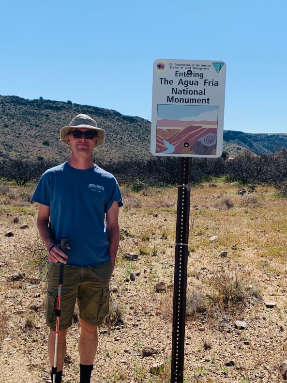
At the end of February, we decided to hit the road and go South to National Parks and Monuments through out California, Arizona, Utah and then determine where to go next. Our house in Bend got full-time renters from California deciding if Central Oregon would be their new home and our vacation rental on the Oregon Coast was booked solid with guests, so the full-time vanlife began!
Then in the middle of March, COVID-19 starting making huge impact across our country and California began shutting down various outdoors spaces. BLM lands and national forests were still open but we decided we needed to head to Arizona where many outdoor spaces were still open and one could find plenty of open spaces. By April, we could see the writing on the wall as more and more forest roads were being blocked off and while we were in Utah calling parks we were told if you aren’t a Utah resident you are not welcome.
Greg’s Dad called us with our weekly mail update and read us a letter from the City of Newport telling us vacation rentals had been shut down and to please remove your guests and ensure no reservations until end of April. We threw in the towel and headed to Newport on April 13th from Kanab, Utah. We now have been hunkering down at our beach house for a while now. While we were on the road we did not realize how little coverage there was in many of our parks, therefore, we got way behind in our video taping and blogging. Now that we are in full WIFI zone we are revisiting all our trips to bring you the most interesting places to visit and where to boondock in the coming weeks until we can hit the road again. This week I’ll be highlighting Carlsbad Caverns in New Mexico. We did the self-guided tour.
Carlsbad Caverns National Monument is located in the Chihuahuan Desert about 20 miles southwest of Carlsbad, New Mexico and about 145 miles northeast of El Paso, Texas. It is an amazing geological site and we highly recommend it for all to see. It was created 265 million years ago by an inland sea through fossil beds and it contains over one hundred limestone caves.


Carlsbad’s caves formed differently than typical caves. Typical caves are formed by rainwater slowly dissolving the limestone. Water then sinks through enlarged fractures and sinkholes eventually growing to become underground streams and rivers that carve out cave systems. While inside the Guadalupe Mountains, between four and six million years ago, hydrogen-sulfide-rich (H2S) waters began to migrate through fractures and faults in the Capitan limestone. This water mixed with rainwater moving downward from the surface. When the two waters mixed, the H2S combined with the oxygen carried by the rainwater and formed sulfuric acid (H2SO4). This acid dissolved the limestone along fractures and folds in the rock to form Carlsbad Cavern. This process left behind massive gypsum deposits, clay, and silt as evidence of how the cave was formed. With time, the active level dropped to form deeper cave passages. In abandoned cave passages above, blocks fell from the ceiling and speleothems (cave formations) began to grow. Around four million years ago, speleogenesis ceased in the area around Carlsbad Cavern and the cave began to take on the look it has today. (Taken from https://www.nps.gov/cave/learn/nature/cave.htm) The cavern itself is over 30 miles long but only 3 miles is open to the public. (Information below is a mixture taken directly from the website and from my memory of the tour and brochures.)
We started at the Nature Trail entrance and then ended at the Big Room Trail and took the elevator back to the top. The 1.25 mile (2 km) Natural Entrance Trail is extremely steep. Depending on if you decide to hike up or down, you gain or lose about 750 feet (229 m)—equivalent to walking up or down a 75-story building. The hike takes about one hour (on average) to complete. This trail is not recommended for visitors with heart or respiratory conditions. It is not handicap accessible.
You have the opportunity to follow in the footsteps of early explorers as you see formations like Devil’s Spring, the Whale’s Mouth, and Iceberg Rock (these are all in the video below). The Iceberg Rock fell from the Cavern Ceiling and it’s a 200,000-ton rock you will see on the trail. The Big Room, is the largest single cave chamber by volume in North America. This 1.25 mile (2 km) trail is relatively flat, and will take about 1.5 hours (on average) to walk it. Actor and comedian Will Rogers called the cavern, “The Grand Canyon with a roof over it.” You will be rewarded with spectacular views, cave formations of all shapes and sizes, and a rope ladder used by explorers in 1924. Parts of the Big Room Trail are wheelchair accessible. You can ask for more information about accessibility at the visitor center. I have included their Accessibility Brochure
The lighting system in the cavern is amazing! There are over 19 miles of wiring and 1,000 light bulbs through out the 3 miles you will walk to be able to see the amazing geological formations. I have never seen such different types of stalactites and stalagmites. At the very end you can take an elevator from the bottom of the cavern floor to 75 stories or 754 feet up to the visitor’s center. The elevator trip takes one minute as the elevator travels 9 mph. The elevator shaft is 1.5 times the height of the Washington Monument. The first two elevators were created in 1931 and the second two in 1955. All were replaced in 1977.


After our amazing tour we headed to our boondocking campsite called Chosa Campground maintained by BLM. The Chosa Campground is a large, hard-packed, level gravel lot immediately off a paved road (Dillahunty Road). It is conveniently located about 7 miles south of Carlsbad Caverns National Park on US Route 180, this campground has three trash cans and is big rig friendly. We had a nice view of the Chihuahuan Desert and since we were there in the winter there were only 5 other rigs in the lot with us. The stars were out in full force and it was very quiet and serene. We hope you enjoy our virtual tour. Cheers!
 So a little food for thought… We are a few months in on living the full-time vanlife. When we made this decision to rent our homes and go full-time for a year to visit all our US National Parks, monuments and beautiful outdoor spaces there was not an inkling of the global pandemic. When you no longer have a home to go to, what do you do during a pandemic? You try to be super diligent and responsible citizens.