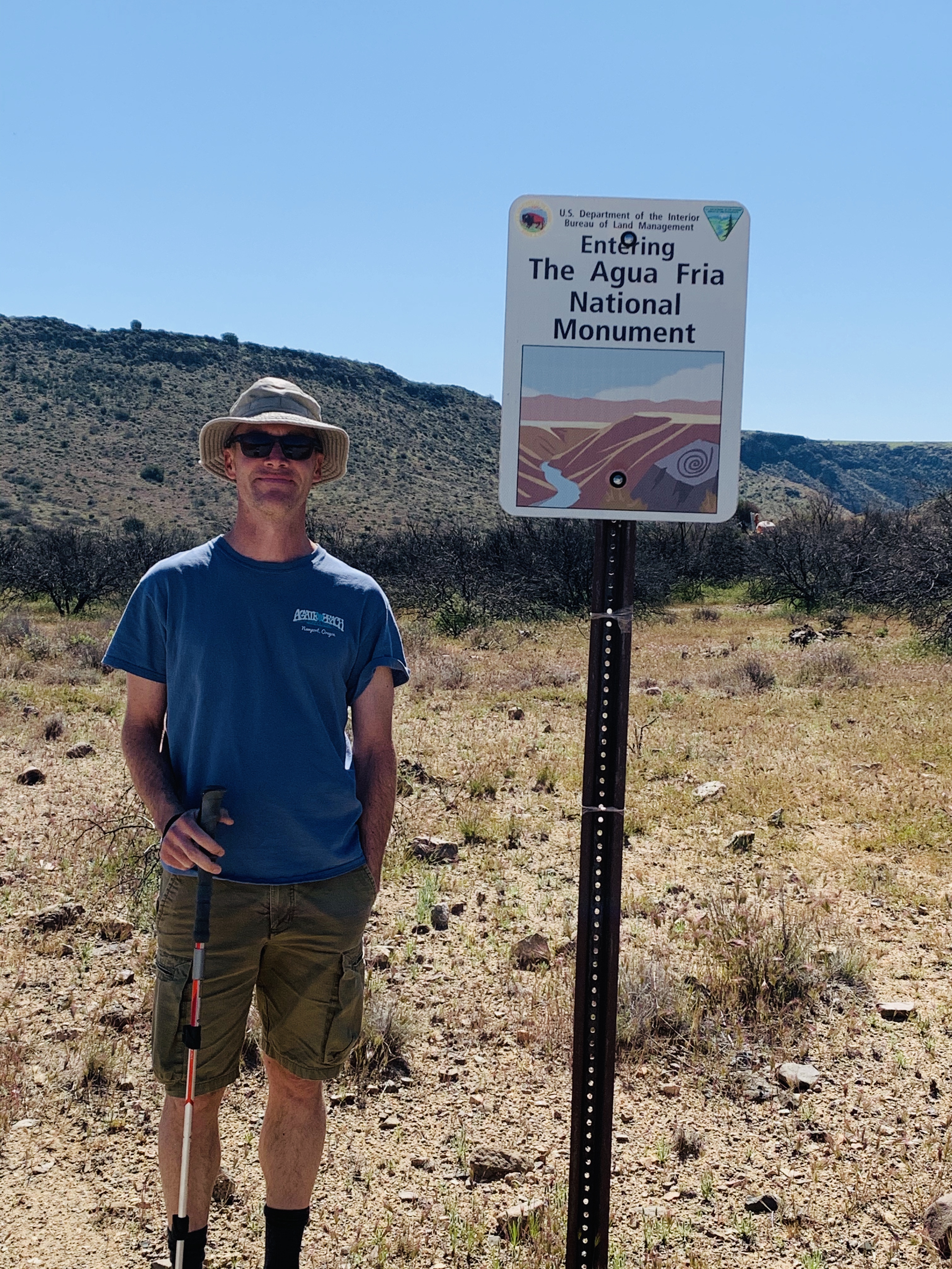
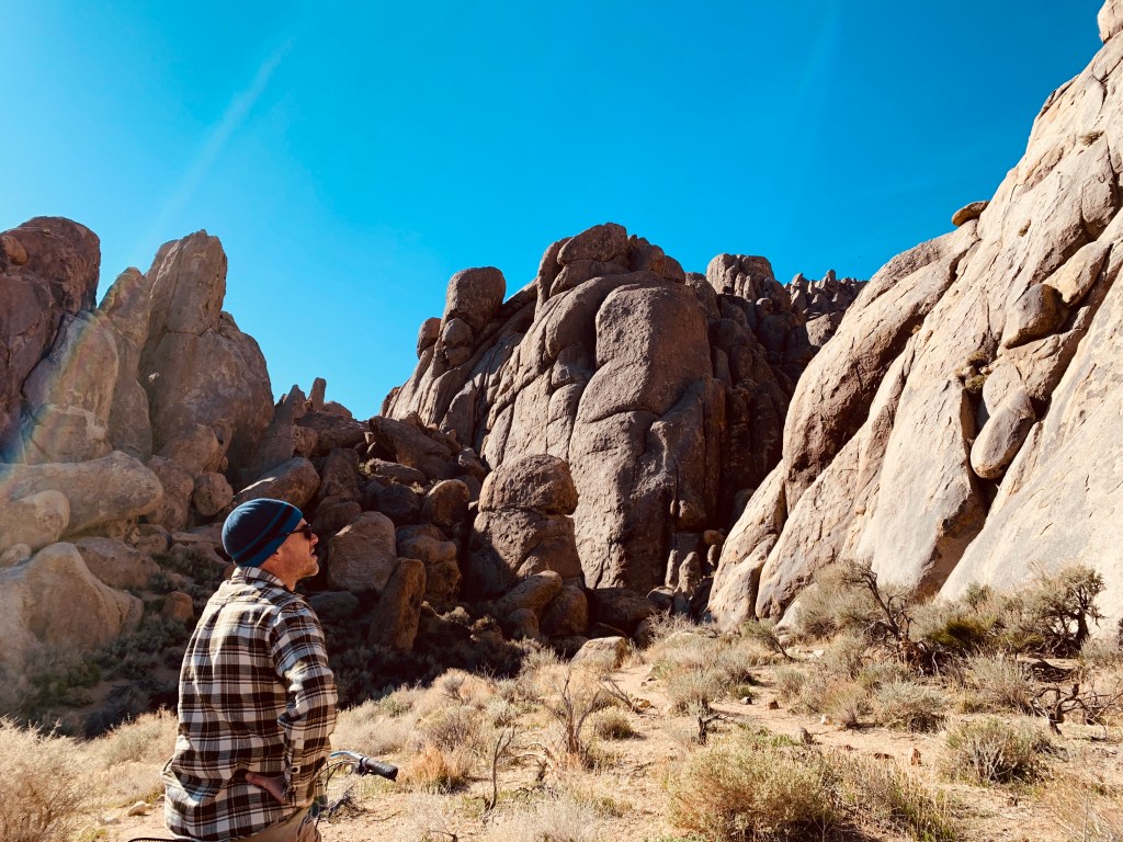
As you head to Death Valley from Alabama Hills Recreation Area you will drive past Manzanar National Historic Site on highway 395 in California. First off, you must stop by Alabama Hills it is an outdoors person and rock climbers dream! So many amazing rock formations, places to climb and hike and all for free. The best boondocking ever! We can also recommend free camping at WildRose in Death Valley. It is a very long drive to this campground, skinny road and very windy (we would not recommend any rigs bigger than 30 feet to attempt) that only has picnic tables, fire rings, a vault toilet and potable water but it is on your way to seeing the WildRose Charcoal Kilns, (the road is gravel and pretty rough) which are pretty cool and a nice hike to Wildrose Peak that is about 8 miles roundtrip. We went in winter time/early spring so it was quite cool (temperature that is). If you can get in, we’d rather recommend staying at Texas Spring Campground it is a good central location, much warmer, prettier and better facilities but costs $16/night. Now back to Manzanar…


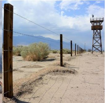
Being an Asian American, I had to stop and visit the WW2 relocation center and I highly recommend stopping for a self-guided tour. It is very well done and reminds us of the atrocities we faced in this country during fears of war and people who looked different and had a different cultural background. In 1942, the United States government ordered more than 100,000 men, women, and children to leave their homes and detained them in remote, military-style camps like the Manzanar War Relocation Center which was one of ten camps where Japanese American citizens were incarcerated during World War II. People of Japanese decent who were US citizens from across this country lost all their possessions, dignity and were forced into these Relocation Centers.
A little history course for folks who may not be aware. Relocation isn’t new in the history of Manzanar and the Owens Valley. We can’t forget that the Paiute and early settlers as well as Japanese Americans all were uprooted from their homes. American Indians began utilizing the valley almost 10,000 years ago. About 1,500 years ago the Owens Valley Paiute established settlements here. They hunted, fished, collected pine nuts, and practiced a form of irrigated agriculture. Miners and ranchers moved into the valley in the early 1860s and homesteaded Paiute lands raising cattle, sheep, fruit, wheat, and other crops. The military were called in and forcibly relocated nearly 1,000 Owens Valley Paiute to Fort Tejon in 1863. Many Paiute returned to the Owens valley and worked on the local ranches.
The town of Manzanar—the Spanish word for “apple orchard”—developed as an agricultural settlement beginning in 1910. Farmers grew apples, pears, peaches, potatoes, and alfalfa on several thousand acres surrounding the town. The Los Angeles Department of Water and Power began acquiring water rights in the valley in 1905 and completed the Los Angeles Aqueduct in 1913. Land buyouts continued in the 1920s, and by 1929 Los Angeles owned all of Manzanar’s land and water rights. Within five years, the town was abandoned. In the 1930s local residents pinned their economic hopes on tourism. With the onset of World War II tourism diminished. Then in 1942 the U.S. Army leased 6,200 acres at Manzanar from Los Angeles to hold Japanese Americans during World War II. Though some valley residents opposed the construction of the internment camp, others helped build it and worked there.
First, we walked through the mini museum that is very well done and tells the stories of the families that lived here during the WW2 internment. There is a 3.2-mile self-guided auto tour where you can see the original sentry posts, Block 14 buildings, mess hall, women’s latrine and barracks, the cemetery monument, remnants of the administrative complex, rock gardens, parks, orchards, the hospital grounds, the uncovered foundations of the Children’s Village which was the only orphanage of the ten War Relocation Centers in the US. In the museum, you will find images Ansel Adams took in late 1943 where he acknowledges the prejudices and fears that led the U.S. government to confine American citizens and legal immigrants of Japanese ethnicity behind barbed wire.


From the website, I wanted to provide you more details on what is still on the property and what you will encounter in the video.
Mess Hall: The US Army constructed this mess hall at Bishop Air Base in 1942. The National Park Service moved it to Manzanar in 2002 and eventually restored it. It is identical to the 36 mess halls that together produced over 28 million meals here from 1942 to 1945. Walk through the kitchen, sit at the picnic benches, and learn about the logistics and politics of food in Manzanar.
Women’s Latrine: The women’s latrine was reconstructed in 2017. The communal shower and rows of toilets depict some of the harsh realities of living at Manzanar. Overcrowding led to long lines, unpleasant odors, and an extreme lack of privacy.
Barracks Buildings: The two barracks buildings were rebuilt in 2015 with exhibits being added in the following years. The four barracks exhibits will tell you about arrival to Manzanar, the importance of the Block Manager’s Office, the loyalty questionnaire, school at Manzanar, and more.
Cemetery: In 1943 the people in Manzanar decided to erect a monument to honor their dead and skilled stonemason Ryozo Kado was recruited to supervise the work. The cemetery serves as a poignant reminder that some of the 10,000 Japanese Americans incarcerated at Manzanar never saw freedom again. Over 145 Japanese Americans died while confined in Manzanar during World War II. Many were cremated, in the Buddhist tradition, and some were sent to their home towns for burial. Fifteen people were buried in a small plot of land just outside the camp’s security fence. When Manzanar War Relocation Center closed, the families of nine of the deceased removed the remains of their loved ones for reburial elsewhere. In 1999, NPS archeologists confirmed that five burials remain at the site. The three characters on the front (east side) of the cemetery monument literally translate as “soul consoling tower” ( I REI TO ). The inscriptions were written by a Manzanar Buddhist priest, Shinjo Nagatomi.
Merritt Park: The people incarcerated at Manzanar left a lasting legacy by creating more than 100 Japanese gardens. The largest of the gardens was Merritt Park, named for the camp director, Ralph P. Merritt. Merritt Park served as community refuge from the hardships of camp. After Manzanar closed in 1945, many of the gardens disappeared as debris from demolished barracks, sand, and vegetation covered them. Recent archeological excavations have uncovered and stabilized some of these gardens including Merritt Park. Today you can view what’s left of this symbol of beauty and the resilience of the human spirit.
Japanese Garden Tour: Private and community gardens covered much of the Manzanar landscape. For many people, these rock gardens and pools served as a source of peace and an escape from their incarceration experience. Today, eleven of the over 100 Japanese gardens have been uncovered and stabilized.
The location was beautiful but also a sad reminder about how we treated fellow Americans. It makes you sad to see how people were forced to live and were ripped from all their loved ones and their belongings because of a war. How our fears caused us to overlook people who were citizens and part of our community and treated them like they were enemies because of their former homeland that they had left for a new life in the USA. Perhaps, it is a reminder about how we can do better in the present and future generations of immigrant people. We hope you enjoy watching our virtual tour.
 So a little food for thought… We are a few months in on living the full-time vanlife. When we made this decision to rent our homes and go full-time for a year to visit all our US National Parks, monuments and beautiful outdoor spaces there was not an inkling of the global pandemic. When you no longer have a home to go to, what do you do during a pandemic? You try to be super diligent and responsible citizens.