Now that we have been on the road for 8 months and have visited over 40 national parks, monuments, historic sites and stayed in Bureau of Land Management, National Forest, National Recreation Area disperse camping areas in 17 states. We have found some of our public areas in poor condition. We are not sure if it is new people camping and RVing that aren’t aware of the rules or people being lazy. I am hoping the previous and not the latter. This week’s blog we would like to refresh folk’s memory on what we should do to ensure we keep our lands pristine for the wildlife and next generation to continue to enjoy. We hope this helps new RVers & campers and serves as a good reminder for those long-time veterans in the outdoors.

Plastic is toxic to burn 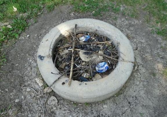
So much trash in almost all the firepits
- LEAVE NO TRACE: This means the spot you stayed at looks like you never stayed there. That means you should pick up all your trash. Yes, that means cigarette butts. You should dig a hole around 6” deep and bury your ashes and leave the firepit empty. Please don’t leave trash even items that can burn in the firepit as critters will still get into the firepit and you don’t know when the next camper who comes will make a fire or if there may be fire restrictions in place later. Please don’t dump your grey water at the campsite. Take the time to pick up trash of other’s who left it behind.
Unfortunately, there are more public lands than employees who can come and clean-up. You should assume there is no one coming to clean up areas. If you are lucky and you discover a place that does have trash disposal, do not overfill trash cans or lay your trash next to the full trash can. This encourages wildlife to eat things they should not be eating or the wind to blow it all over the place. Consider getting a trasharoo if you don’t want trash inside your vehicle. There are trash cans at every gas station and most city parks and rest areas that you can drop off at the next place.

They may be cute but they carry a lot of diseases, do not feed the wildlife!
- DON’T FEED THE WILDLIFE: Yes, its cute that the chipmunks, squirrels and birds will come up to you and even on to your hand but don’t feed them! There will not be people at that spot all year around to continue to feed them and we don’t want them dependent on humans and human food. Second, many of these cute animals’ harbor diseases (such as Hanta Virus), you don’t want your kids to get bitten or cut by one of these cute animals. These cute animals will also ruin your vehicle. As you continue to feed them, they would like to be stow-a-ways and will eat your wires and other items in your RV, car or truck. If they are scared of humans, like they should be, then they will stay away. We have had a few field mice and ground squirrels enter our vehicle-not fun!

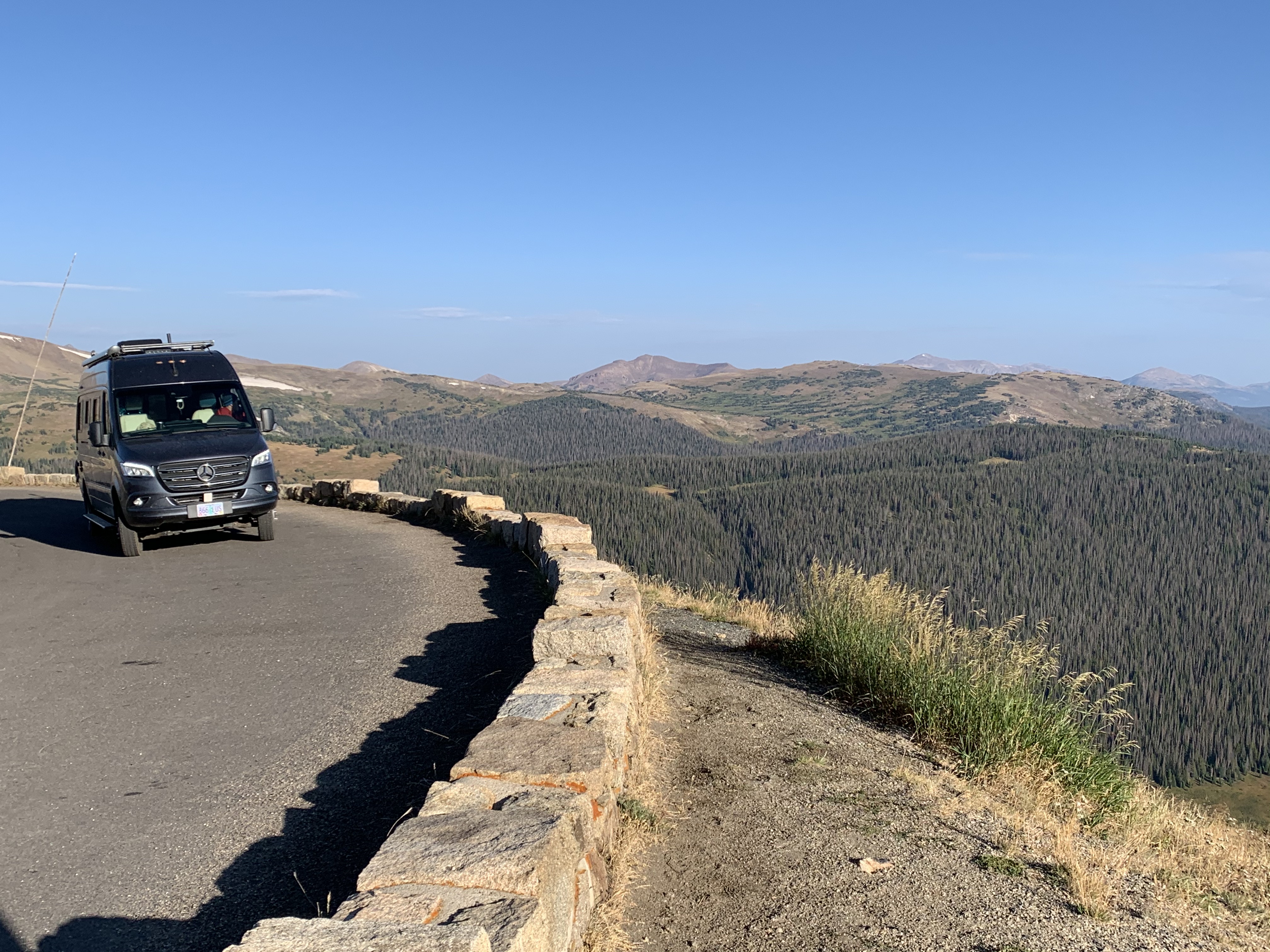
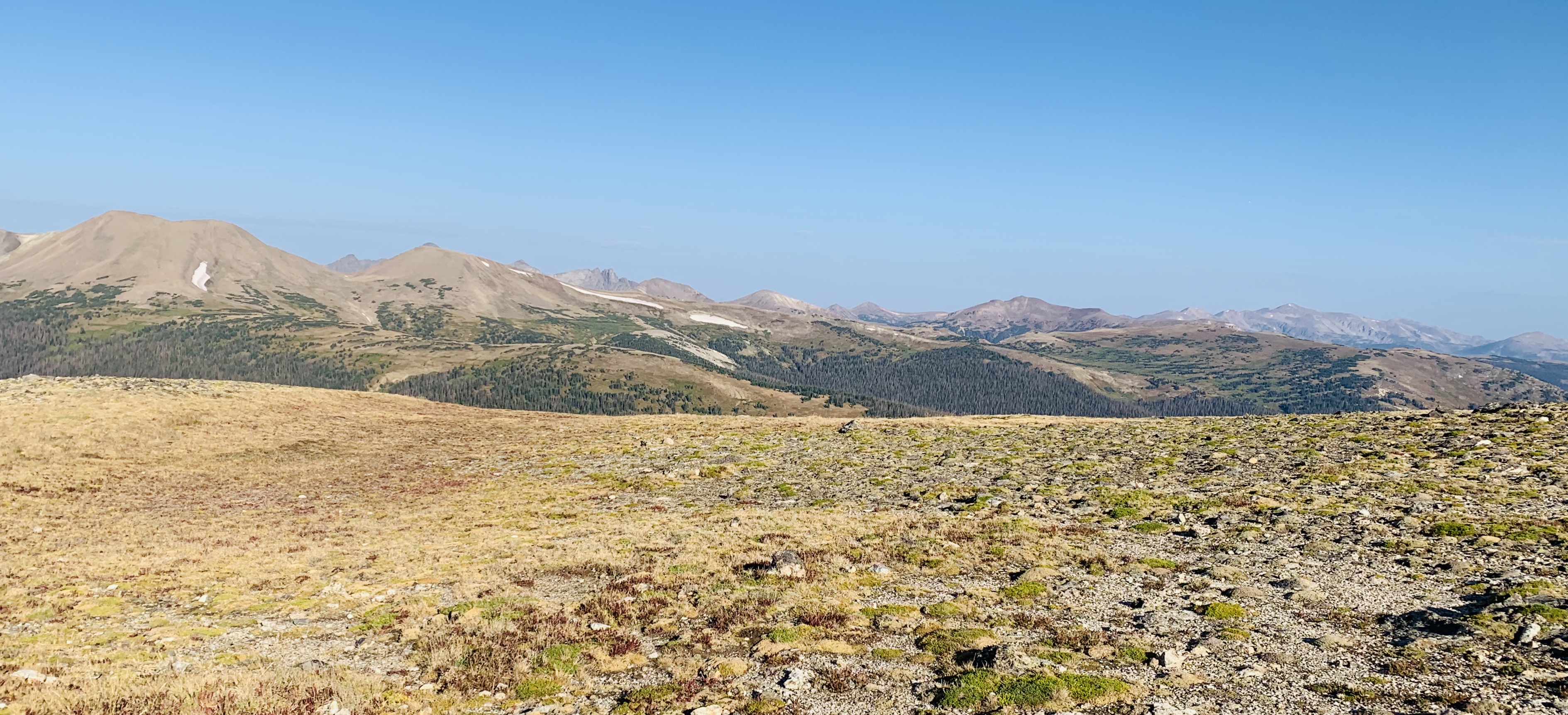
Boondocking in BLM 
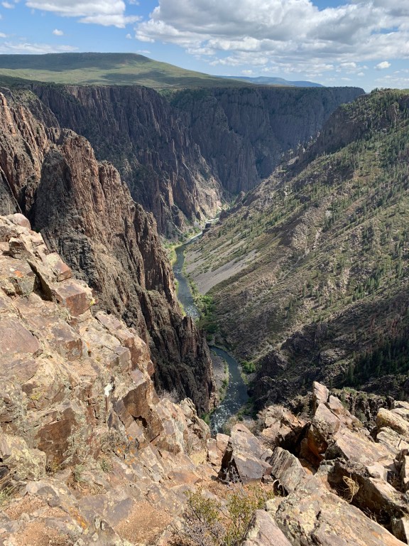
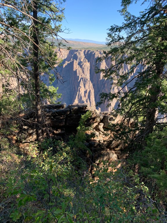
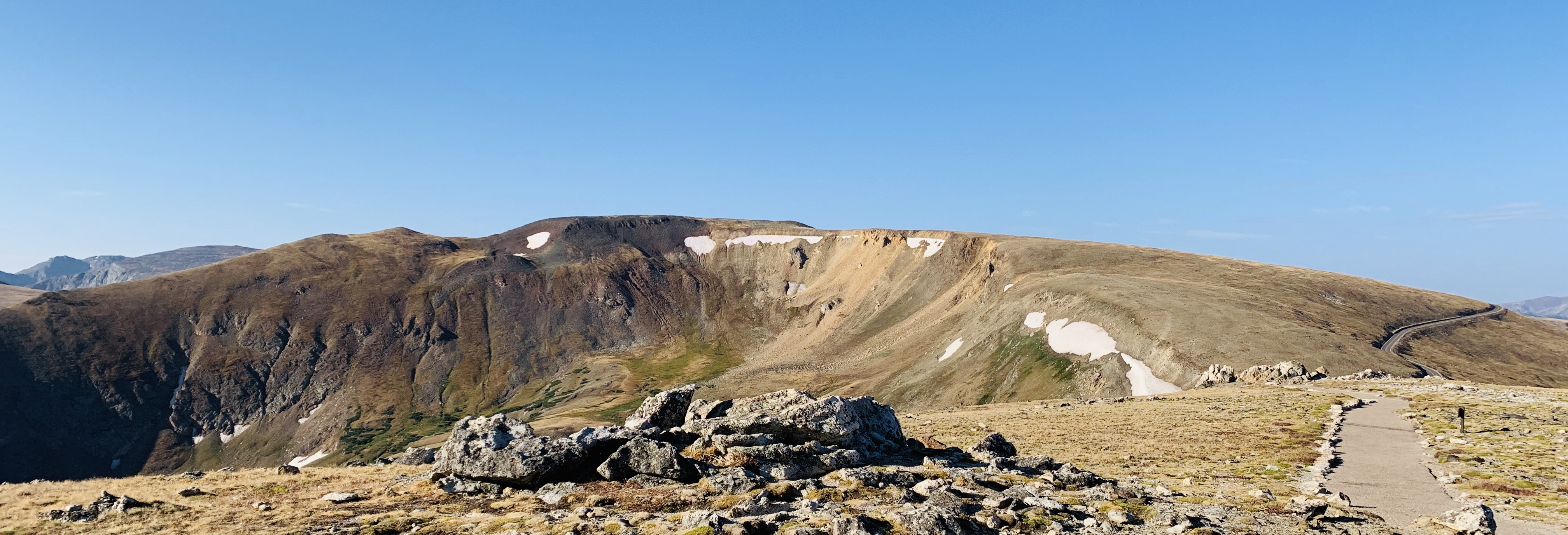
Historic overlook 
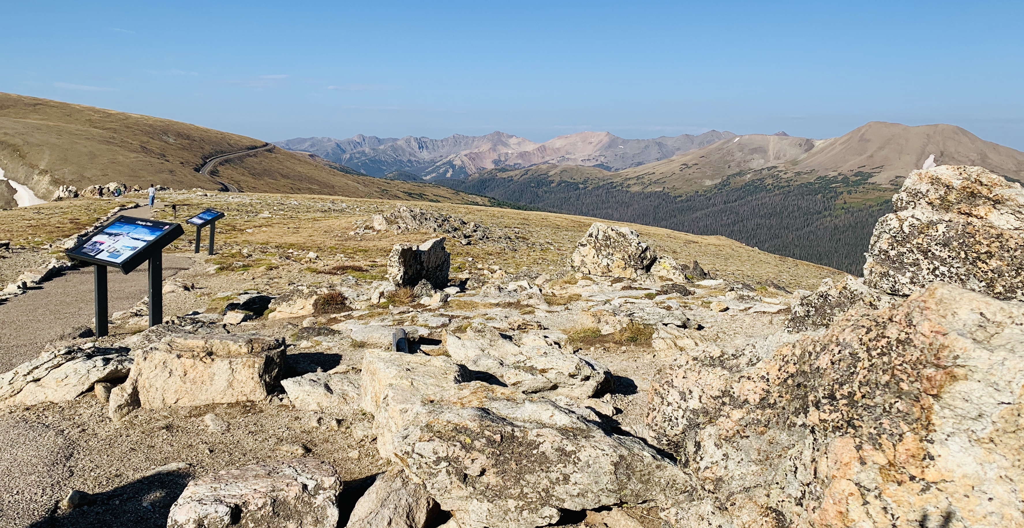
Rest Area in Arizona 
Dumpster at one of our campgrounds
- DISPOSING OF TRASH: It has been so sad to go to rest areas, historical pull outs and viewpoints to see trash all over the parking lot, in the river, streams and banks. These beautiful places are beginning to look like junk yards. Please take the time to throw your trash in trash cans. If trash cans are full or there are not at the stop please just hold them until the next gas station or other appropriate location. If you have junk to dispose of, please use the dump where it is supposed to go and not these beautiful places. Also, please take the time to bag up and throw away your dog poo. If you don’t have a bag then take the time to dig a hole and bury your dog poo. No one wants to step in it, see it, smell it and it drives wildlife out of the area. I know its not fun but that is why we carry this great portable shovel from Amazon or leave the dog poo bag in the trashroo until we find a trash can.

No one wants to see, smell or have their dog eat human waste, please bury it 6″!
- RELIEVING YOURSELF IN THE OUTDOORS: Unfortunately, many places in the outdoors do not have bathrooms or vault toilets. If that is the case, the rule of thumb is to dig a hole at least 6” deep. Your hole should be 6 inches deep so you can bury your feces and toilet paper so critters do not dig it up and people don’t step on it. The last thing you want is your dog eating human waste, sorry gross has happened to us before. When you need to go or a child needs to go, its understandable but please take the time to bury it and do not leave diapers-they do not degrade away. We were in Glacier National Park hiking up to a water fall and someone left human waste and toilet paper and a diaper right next to the trail. Not only was it gross but animals were going after it and kids not paying attention were stepping in it and dragging it down the trail. Please don’t be the person who does this!

We were boondocking at a 14 day huge boat ramp parking lot and no one was in the parking lot and this RV pulls up so close next to us we can’t put out our awning, turns on generator until wee hours and had their windows down talking so loud we know all about their family challenges, please don’t be that guy.
- BEING CONSIDERATE: Not everyone wants to interact with other people. If you are boondocking and there is an empty area don’t park next to the people. Try to park as far away as possible, give people space. If you are boondocking and you see an area that already has a vehicle but a second vehicle could fit, take the time to knock on the other RV and ask if they would mind if you parked near them. They found the spot first, many will say that is fine but some people may prefer you not to be there and if they do, it’s fair for them to ask you to find another spot. Many people go to the outdoors to enjoy peace and tranquility. You may want to listen to music but others may not. Feel free to enjoy your music but consider doing it at a quieter level so others don’t hear you rocking out and consider turning it off at a reasonable hour. We were camping and a group of ladies having a bachelorette party decided to play their techno dance music blaring from their SUV until 3AM. It really was not enjoyable. As much as I want all ladies to have a fabulous bachelorette party please be considerate of others. If your RV has a generator, those are loud and some very stinky! Many campgrounds require them to only be used from 8am-8pm. Consider that a standard even if its not specified at a campground or if you are boondocking. People go to sleep at different times and it’s a considerate rule to go by to be a good neighbor.

We try to remember to always bring a mask and wear on our chins, then when someone approaches we can easily pull it over our nose and mouths to ensure the safety of those who may be immune compromised.
- COVID-19: I know this topic has lots of controversy and people can believe whatever they want to believe, but we can all be respectful. Even if you don’t like masks, we should be considerate of others. Considering we are in middle of a pandemic, not everyone wants to interact with others. Please wear a mask or give people 6 feet if you want to ask them questions. We are happy to talk to people about our rig and our adventures but I don’t appreciate when people touch my vehicle, come up next to me or continue to walk closer and closer to me, when I am backing up. Don’t be a ‘Space Invader’. I have been a year ‘sick free’ for a reason and I’d like to stay that way. People may look really healthy but you don’t know if they have any health issues that put them in a high-risk bracket. If you are hiking trails or biking, bring a mask or at least a buff or bandana. You don’t need to wear it the whole time but when you are passing other people you should. When we are walking we wear our masks on our chin so we can easily put it on when people are approaching. If you are hiking with friends don’t take up the entire path, walk single file. Many people don’t want to have to be pushed to the side or walk right next to you. Its very considerate to even stand to the side and let people pass by, especially if they are struggling. If you are taking a rest break by yourself or with a group, please stand to the side and wear your mask so people don’t have to go around you or have you and your group breathing on them. Many campgrounds are closed or at half capacity, make sure to check before you show up at national parks and monuments. Some require reservations while others have first come first serve spots, I suggest calling the park and talking to a ranger before just showing up.
We hope this helps as you enjoy the great outdoors! If we all follow these simple rules then we can ensure our parks and monuments and public lands stay open. If we continue with the trash, human waste and destruction, many of these lands will close and then we won’t be able to get out and enjoy the outdoors.